El Niño Winter 2026–27: What to Expect Where You Live
NOAA's winter outlook says a strong El Niño will shape the 2026–27 US winter. That tilts the odds toward a wetter, stormier South and a milder North, though it doesn't rule out cold snaps. Here's what it means region by region, and what to get ready before December.
NOAA released its winter outlook for December 2026 through February 2027 this week. The headline is El Niño. The Climate Prediction Center (CPC) has tracked one of the strongest El Niño events on record building in the Pacific since summer, and it's expected to peak around now and last into early 2027.
Quick answer: El Niño doesn't guarantee any particular storm. It shifts the odds. In a strong El Niño winter, the southern US, from California across the Gulf Coast to Florida and up the Southeast coast, tends to be wetter and stormier. The northern US tends to be milder and drier than usual, though Arctic cold snaps can still happen. More storms in the South mean more risk of flooding, coastal flooding and power outages, so it's worth getting ready before December. Check [NOAA CPC](https://www.cpc.ncep.noaa.gov/) for the official outlook for your area.
What is El Niño?
El Niño is a warming of the ocean surface in the central and eastern tropical Pacific. That extra heat shifts the jet stream, the river of air that steers storms across the US. In winter, a strong El Niño usually pulls the storm track south, across the southern half of the country.
The stronger the El Niño, the more likely the classic pattern is. This year's event is strong, so forecasters have more confidence than usual. But it's still about probabilities, not certainties.
What El Niño usually means, region by region
Swipe sideways to compare columns
| Region | Typical El Niño winter | What to watch for |
|---|---|---|
| California and the Southwest | Wetter than normal | Heavy rain, flash floods, mudslides on burn scars, drought relief |
| Texas and the Gulf Coast | Wetter, cooler, cloudier | Flooding, severe storms |
| Florida | Wetter and stormier | Heavy rain, coastal flooding, winter tornadoes |
| Southeast and Mid-Atlantic coast | Wetter, more coastal storms | Nor'easters, coastal flooding, ice in some areas |
| Northern Plains and Upper Midwest | Milder and drier | Fewer big cold spells, but Arctic outbreaks still possible |
| Pacific Northwest | Milder and drier | Lower mountain snowpack |
| Ohio Valley and Great Lakes | Often drier, milder | Less lake-effect snow, but not none |
These are tendencies based on past El Niño winters. Your local winter can still break the pattern.
The risks that matter most
Storms and flooding in the South
More storms means more heavy rain. Never drive into flood water. Just 12 inches of moving water can float most cars. Know whether your home is in a flood zone, and keep important documents in a waterproof bag.
Power outages
Winter storms bring down lines with wind, ice and falling trees. Plan for at least 3 days without power: light, heat, phone charging and food that doesn't need cooking. Our extended power outage guide covers this step by step.
Cold snaps in a "mild" winter
A milder winter on average can still include a few brutal days. Pipes freeze, roads ice over and furnaces fail. Don't skip cold-weather prep because the outlook says mild. See our polar vortex checklist.
Your before-December prep checklist
- Water: 1 gallon per person per day for at least 3 days.
- Food: 3 days of food that doesn't need cooking.
- Light: flashlights and spare batteries. Skip candles if you can.
- Power: charged power banks, plus a car charger.
- Heat: extra blankets and warm layers. Never use a grill, camp stove or generator indoors.
- Carbon monoxide alarm: test it, and replace the batteries.
- Medicine: a week's supply, plus copies of prescriptions.
- Documents: IDs and insurance papers in a waterproof bag.
- Car kit: blanket, water, snacks, phone charger, ice scraper, and a bag of sand or kitty litter for traction.
- Gutters and drains: clear them before the rainy season.
- Alerts: turn on emergency alerts on your phone, and know your local NWS office.
- Offline info: save maps and guides on your phone in case the network goes down.
How HAVEN helps
- Works with no internet. Storm, flood and outage guides, first aid and offline maps work in Airplane Mode.
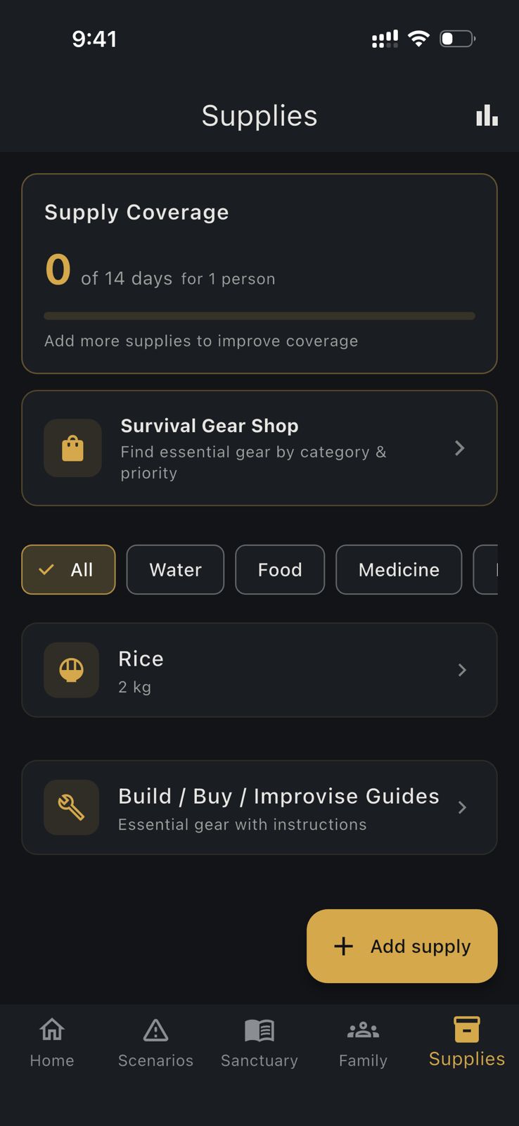
- Supplies checklist. Track water, food, medicine and your winter kit.
- Messaging without the network. Nearby family phones can text over Bluetooth when cell service is down.
- HAVEN Watch. Follows official sources and alerts you about real events where you and your family are.
Download HAVEN free and get ready before the first big storm.
FAQ
Q: What does El Niño mean for winter 2026–27?
A: A strong El Niño tilts the odds toward a wetter, stormier winter across the southern US, from California to Florida and up the Southeast coast, and a milder, drier winter across much of the northern US. These are probabilities, not guarantees.
Q: Will El Niño make this winter warmer?
A: Across much of the northern US, El Niño winters tend to be milder than normal. That doesn't rule out Arctic cold snaps, so you should still prepare for freezing temperatures and ice.
Q: Does El Niño mean more storms?
A: In the southern US, usually yes. El Niño pulls the storm track south, which tends to bring more rain, coastal storms and flooding to California, the Gulf Coast, Florida and the Southeast.
Q: Where can I see the official winter outlook?
A: NOAA's Climate Prediction Center publishes the official seasonal outlook and El Niño updates at cpc.ncep.noaa.gov. Your local National Weather Service office at weather.gov has forecasts for your area.
Q: How should I prepare for an El Niño winter?
A: Plan for storms and power outages. Keep 3 days of water and food, flashlights, power banks, warm layers, a tested carbon monoxide alarm, a week of medicine and a car kit. Clear gutters and drains before the rainy season.
Ready to get prepared?
Carry on-device AI advice, offline topographic maps, and 12 printable field manuals on your phone with zero cell signal needed.